The ARAMIS was originally developed for Japan Aerospace Exploration Agency - JAXA Multi-frequency recorders are available as ARAMIS front ends and as separate products ARAMIS software GNSS receiver has been developed for and in cooperation with JAXA. It is implemented for monitoring of ionospheric scintillations, including airborne applications using tightly coupled INS/GNSS. R&D version is intended for research and academic applications.
The ARAMIS SDR GNSS Receiver with Ionospheric Scintillation Monitor functions
Overview
ARAMIS software GNSS receiver has been developed for and in cooperation with JAXA. It is implemented for monitoring of ionospheric scintillations, including airborne applications using tightly coupled INS/GNSS. R&D version is intended for research and academic applications.
Features
ARAMIS?
- Works in real-time with live satellites or with recorded/simulated signal
- Visual interface with GNSS signal, signal processing, and receiver technology.
- Output: NMEA, RINEX, Google Earth KML, binary Navigation message, raw acquisition and tracking data
- GPS, GLONASS, Galileo, BeiDou, IRNSS single and multi-frequency signals.
- High quality code and carrier phase observables .
- Positioning accuracy up to 1 meter, centimeters ( with free RTKLIB ).
- Coherent tracking with up to 1 second integration time.
- Implementation of user defined processing algorithms and methods through API.
- Tunable tracking loops.
- Tight integration with INS.
- Special functions for signal analysis and scintillation monitoring.
- has all conventional ISM features,
- allows to process recorded RF signal multiple times with various parameters and algorithms,
- ensures that no data is lost, even if very strong scintillation had occurred, in which case any conventional ISM can loss a lock and data will be lost forever,
- allows to access signal processing and tracking loops core to modify existing or implement custom processing algorithms and methods,
- allows to implement adaptive tracking algorithms,
- features various types of INS integration,
- features coherent tracking with very long coherency intervals,
- features high level of visualization for parameters of interest,
- provides control over detrending filter parameters, alarm thresholds, and various data outputs.
Data output:
- scintillation index
- code-carrier divergence
- broadcast or post-processed TEC
- 50Hz phase and intensity values and their statistics
ARAMIS? can operate in real-time mode and in post-processing mode. In a post-processing mode one can process recorded GNSS RF signals from many sites. ARAMIS? can record RF signal automatically, when scintillation is larger than predefined level.
API
Front end API
Allows access to front end
Baseband API
Allows access to tracking loops
Navigation API API
Allows access to navigation processor
API
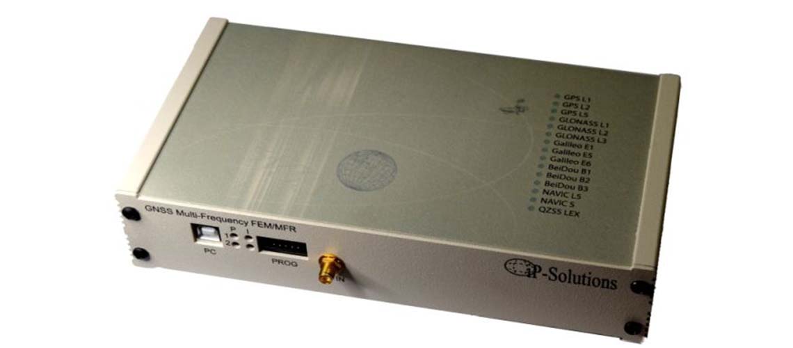
Depending on front end and version, supported signals are: GPS/QZSS L1, L2, L5, GLONASS L1, L2, L3, BeiDou B1,B2, Galileo E1, E5, IRNSS L5, S
- Accuracy: ~1m RMS stand-alone, real-time.
- Clock. TCXO: 0.5 ppm (Eagle front end). OCXO (FEM front end): 5x10⁻¹⁰ ageing/day, 3x10⁻⁹ stability.
- Carrier sigma:10-15 mm
- CCD: 5-15 cm